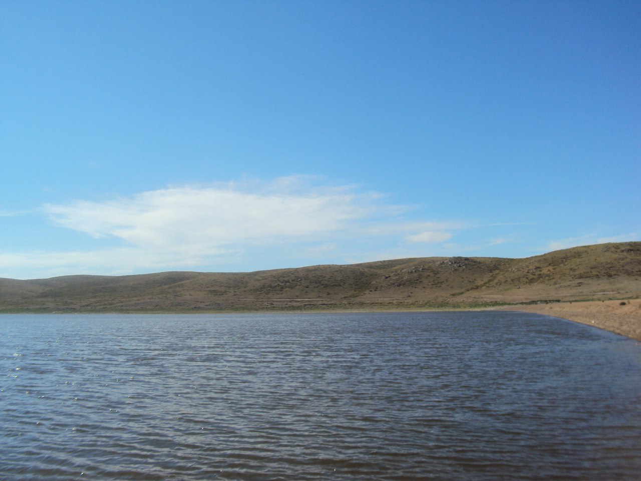
This lake is located near the foot of the Northern slope of the Bayanaul Mountains. The catchment area of the reservoir is almost 13 thousand square meters in total. Hydrologists calculated the area of the Toraigyr mirror - about two square kilometers, or slightly less.
"The Toraigyr catchment area is clearly divided into mountainous and small-scale parts: the first is located in the South, on the territory of the Bayanaul state national natural Park, the second -in the North, outside the Park. The mountainous, most active part of the catchment area is divided by a network of deep valleys and meadows with steep, mostly rocky slopes covered with sparse mixed forests, and at the foot — thickets of shrubs. Forests and shrubs cover 35 percent of the basin, «said Pavlodar geographer Murabek Omarov.
He says that the so-called bowl of the reservoir for this lake was a deep pre-slope depression with a tectonic origin, filled with water. If you look at the lake from above, it looks like an irregular quadrilateral, elongated from West to East. There is no vegetation on the surface of the Toraigyr water.
In the South-Western part of Toraigyr there are two Islands made of rocks. The banks of the reservoir in the South and North are high and steep. According to experts, these banks are composed of crystalline rocks. In the East and West of the lake, the banks are gentle. They are made of coarse-grained sand mixed with rubble and boulders.
"Access to the lake is only possible from the Eastern and Western banks," warns Murabek. - The bottom of Toraigyr is flat, hard, sandy - gravelly, with a slope to its center. The maximum depth of the reservoir is eleven meters. The water of the lake is slightly salty, the composition is sodium bicarbonate-chloride. Holiday homes are being built near the lake. Due to the congestion of Lake Zhasybay as a tourist recreation area in the summer, there are good prospects for tourism development near the lake.
Anton Sergeev
Photo of students of Pavlodar state pedagogical University.
